An ancient voice

March 26, 2010 by

sandhill crane

The sound of sandhill cranes calling from skyward as they return to their summer nesting grounds is one of my favorite signs of spring. I usually hear sandhills well before I glimpse them high in flight, and sometimes I never see them at all. Once perilously close to extinction in the lower 48, the sandhill crane has made an impressive comeback and is now relatively common. Cranes use wetlands for nesting and agricultural land for foraging (Baraboo’s International Crane Foundation is a good place to learn more).

And there’s something about their call that stirs the imagination: haunting and ancient at the same time, it’s a southern Wisconsin version of the Northwoods call of the loon. Both species have been around for a very long time, with the sandhill representing one of the oldest surviving bird species, unchanged for at least several million years. It’s as if that ancient lineage can still be heard in their voice.

Aldo Leopold wrote powerfully of cranes in A Sand County Almanac essay called Marshland Elegy:

“When we hear his call we hear no mere bird. We hear the trumpet in the orchestra of evolution. He is the symbol of our untamable past, of that incredible sweep of millennia…”

Photo challenge of the week (#9)

March 23, 2010 by

photo of week 9This week’s challenge presents two photos from the same tucked-away landmark. The photo at left (click to enlarge) shows where the plaque is. Another clue: the designer of this 1938 limestone memorial also designed Madison’s Glenwood Children’s Park. Worthy of a story in his own right, he was born on a large farm in Denmark, served in the Prussian Imperial Guard, immigrated to America when his family disapproved of him marrying someone (they felt) beneath their class, worked as street sweeper for the Chicago parks district—and then became a renowned landscape architect. What is this rock feature? Answers are due by next Monday (how to play the challenge).

photo of week 9aListen below to audio from the same location. Singing cardinals don’t give away the answer, but the sound of gently flowing water is suggestive!

Our previous photo challenge asked for the location of this effigy mound group (mounds in gray, including the block-long bird, no longer exist). The two remaining mounds overlook Lake Monona in Hudson Park, near Harry Whitehorse’s now-bronze Effigy Tree sculpture.

Lake Mendota ice hike

March 19, 2010 by

It’s hard to imagine now that spring is in the air, but just a couple short weeks ago, Lake Mendota—and the other Madison lakes—felt like frozen arctic tundra. We can attest to this firsthand, as we took a lovely hike on the ice around Picnic Point and Frautschi Point. We were struck by the sense of vastness and solitude we encountered right in the middle of the city, and wondered how many Madisonians have had the chance to experience this wide and transitory landscape.

Sharon Barbour, winter trekker extraordinaire and friend of Unseen Madison, joined us as we stumbled upon a few of Mendota’s hidden treasures. Here Sharon talks—of her own free will, we swear—about the hike and our sterling qualities.

Photo challenge of the week (#8)

March 16, 2010 by

photo of week 8This Madison neighborhood is kind to its remaining effigy mounds. The small lakefront park here has two mounds, a bear and unknown effigy (sometimes labeled a lynx). Madison’s dense and extensive mound groups are now miniaturized. Before the city expanded, this pair was part of a larger group, including a nearly 600-foot bird effigy. Note the blackened mound from a recent burn stimulating prairie plants. Where is this effigy mound? Answers are due by next Monday (how to play photo challenge).

In effigy mound news, hear former state archaeologist Bob Birmingham talk about his new book on Madison mounds at 2 p.m. on March 21 at the Dean House, home of the Blooming Grove historical society,

The last photo challenge asked how Machinery Row got its name. Located in a rich farm region, Madison became a distribution center for farm equipment. So “Machinery” refers to farm implements, and “Row” to two blocks of farm businesses on Williamson Street, also called Implement Row. See photos of Implement Row in 1918 and 1936. Across the street stood the railroad depot.


Photo challenge of the week (#7)

March 8, 2010 by

photo of week 7 Most Madisonians, especially cyclists and fine diners, know Machinery Row. In the spirit of recalling original meanings, we offer this challenge: what machinery (it’s not bicycles) does Machinery Row refer to? Why a row? In other words, why is this building called Machinery Row? Send an answer by next Monday (how to play photo challenge).

Last week’s photo challenge asked for the name of the UW arboretum‘s massive (and sadly, dead) white oak at the western edge of Curtis Prairie. In 1963, the Jackson Oak (PDF) was named to honor Joe Jackson, also known as Col. Jackson (he’d been a lieutenant colonel in World War I). It would be hard to overestimate Jackson’s impact on the arboretum. In the early decades Jackson was everywhere: negotiating for land, desperately raising money to meet deadlines, promoting the arboretum to citizens and regents. What else can we name after him?

Photo challenge of the week (#6)

March 1, 2010 by

photo of week 6The photo (click to enlarge) shows the best-known tree in Madison—not that there’s a lot of competition. That title won’t last forever, as this white oak died in the late 1990s at almost 200 years old. For now it stands strong in the UW arboretum, providing habitat for birds, insects, and bats. A red-tailed hawk often perches on the open-grown limbs. In 1930 it stood by itself in a large field (look below woods in upper left quarter of photo, along curving white road). What is the name of this tree? Send your answer by next Monday (how to play photo challenge).

Now to last week’s challenge. Sid Boyum’s Blue Dragon Urn is on Atwood Ave., next to the Capital City trail (here, to be more precise). Boyum’s public sculptures can be seen around the Schenk-Atwood neighborhood.

Was Madison Landscape imaginary or real?

February 28, 2010 by

John Steuart Curry, The Tragic Prelude John Steuart Curry was the University of Wisconsin’s artist in residence when he finished this controversial mural of John Brown for the Kansas state capitol. The same year (1941), Curry painted Madison Landscape, now on view at the Madison Museum of Contemporary Art‘s Apple Pie exhibition.

Amazingly, Curry’s perspective in Madison Landscape is almost exactly as if he set his easel on Dead Lake Ridge, the 80-foot moraine above Monona Bay that appears in our blog banner. The ridge (covered with effigy mounds) was quarried for sand and gravel and disappeared by about 1915.

Though Curry arrived in Madison 20 years later, he might have heard about Dead Lake Ridge and tried to recreate it in Madison Landscape. Then I found his artist’s statement: “… a view of Madison and Lake Mendota seen from a hypothetical hill.” So it’s just coincidence: to show off Madison’s isthmus, Curry invented a high point at the same location as the old dividing ridge.

Photo challenge of the week (#5)

February 22, 2010 by

A dozen outdoor sculptures by Madisonian Sid Boyum make up almost a quarter of the city’s public art. Boyum’s works can be playful, rustic, or Asian-inspired. He died in 1991, and a decade later neighbors moved Boyum’s sculptures out of his backyard for public display (see video). On what street is this Sid Boyum sculpture located? Click the photo to enlarge, and send your answer by next Monday (how to play photo challenge).

We may have been too clever in our last photo challenge, which asked for the old name of this lake. A close look shows the latest installment of Madison’s replica Statue of Liberty, so the lake is Mendota. Until 1855, Mendota was known as Fourth Lake. Why such a mathematical name? Federal surveyors mapping Wisconsin used the Wisconsin-Illinois border as a baseline. Among the Four Lakes, Lake Kegonsa was reached first and called First Lake. That meant Mendota was Fourth Lake.

Photo challenge of the week (#4)

February 16, 2010 by

photo of week 4aWe promise we’re not obsessed with Madison’s frozen lakes. This week’s photo challenge is straightforward—with a twist. What was the name of this Madison lake before its current name? Click the photo to enlarge, and see the clue you need. Send an answer by next Monday (how to play photo challenge).

The last two challenges have featured beavers (#2) and coyotes (#3), animals not usually considered urban. Lake Wingra has a special advantage for wildlife: the 1,200-acre UW arboretum. The outlines of Wingra marsh haven’t changed in 80 years.

Coyotes are so adaptable they often live more successfully in cities than rural areas. Chicago, for example, has a coyote population around 2,000. Nobody knows Madison’s population, but coyotes are in the news recently for migrating to the city and preying on pets. The great irony is that hating the coyote (and fearing its wolf cousin), we spent a couple centuries trying to destroy them. Now coyotes are moving in with us.

Photo challenge of the week (#3)

February 8, 2010 by

photo of week 3Last week’s challenge asked you to identify a structure standing near a spring on Lake Wingra. Though it looks like a king-sized muskrat lodge, it belongs to a beaver. This corner of Wingra has plenty of beaver sign, both the usual—chewed trees such as this one—and unusual: a chewed boardwalk just yards from the lodge, where the beaver has rounded the edge for more comfortable travel.

Now to this week’s photo challenge (how to play). Tracks of a wide-ranging mammal crisscross Wingra marsh and the southwest margin of Lake Wingra. Other signs include a possible bed and, sometimes at night, its voice. Given these clues, what animal do these tracks belong to?

Governor’s trout pond

February 6, 2010 by

We continue our Lake Wingra tour at Deep Hole spring, just up the Edgewood boardwalk from New Millennium spring. The name fits: in the 1870s, Wisconsin governor Cadwallader Washburn walled in Deep Hole to raise trout, a coldwater fish. In our century the spring has been reclaimed from thick brush that obscured it. Unseen Madison hero Charles Brown described Deep Hole spring in 1927:

“This large spring was on the very edge of and partly in the lake itself. It was surrounded by rushes and was at times a retreat for large fish. Governor Washburn when he lived at Edgewood caused it to be stoned in and stocked with trout, and it was commonly spoken of as Governor Washburn’s trout pond.”

To say Cadwallader Washburn led a full life is an understatement. He donated the Edgewood villa to the Sinsinawa Dominican Sisters, who formed an academy that became Edgewood.

Photo challenge of the week (#2)

February 1, 2010 by

First, let’s answer photo challenge #1: Lake Wingra has open water here because of a spring. New Millennium spring, located near the boardwalk at Edgewood College, appeared in 2000. Lake Wingra’s springs may explain why it was at the center of an incredibly dense concentration of effigy mounds. About 8 of the lake’s original 30 springs still flow—reduced groundwater affects spring output.

Sharp-eyed viewers of photo #1 may notice an odd shape in the upper right, seen again here. What is this structure? Both photos are from our Lake Wingra slideshow. Send us your answer by next Monday (how to play photo challenge). Later this week we’ll post video of another Wingra spring.

Home of a giant snapping turtle?

January 29, 2010 by

Listen to Jim Lorman, biology and environmental studies professor at Edgewood and chair of Friends of Lake Wingra, give a clue about this week’s photo challenge. In the photo, Jim stands at center, flanked by David Thompson (left) and our own Gordon (right).

Photo challenge of the week (#1)

January 27, 2010 by

Later this week we’ll post audio/video from our Wingra subpolar ice expedition. Until then you can read David Thompson’s expedition report (ignore the embarrassing photo). Our first photo challenge of the week asks: Why is there open water on this Madison lake in late January? Send your answer and visit every Monday for a new photo. To get news of Unseen Madison posts, follow Jeff on Twitter.

:: Weekly winners can receive a photo postcard, such as this.

:: Winning 4 photo challenges gets you our usual great prize: either a book (TBD) or 2 hours in the field with Gordon and Jeff.

:: If we receive multiple correct answers, Terrence the Unseen Madison cat holds a random drawing to decide a winner.

Coming attractions and quiz answers

January 13, 2010 by

May you see with new eyes in 2010! Next week look for the debut of our photo of the week contest, which will highlight Madison’s unnoticed places. Also next week, we’ll be mounting a subpolar ice expedition (i.e. about 23.5° below the arctic circle), the exact nature of which we can’t reveal in case it goes badly wrong. Check back for photos, audio, and video, possibly of our last moments.
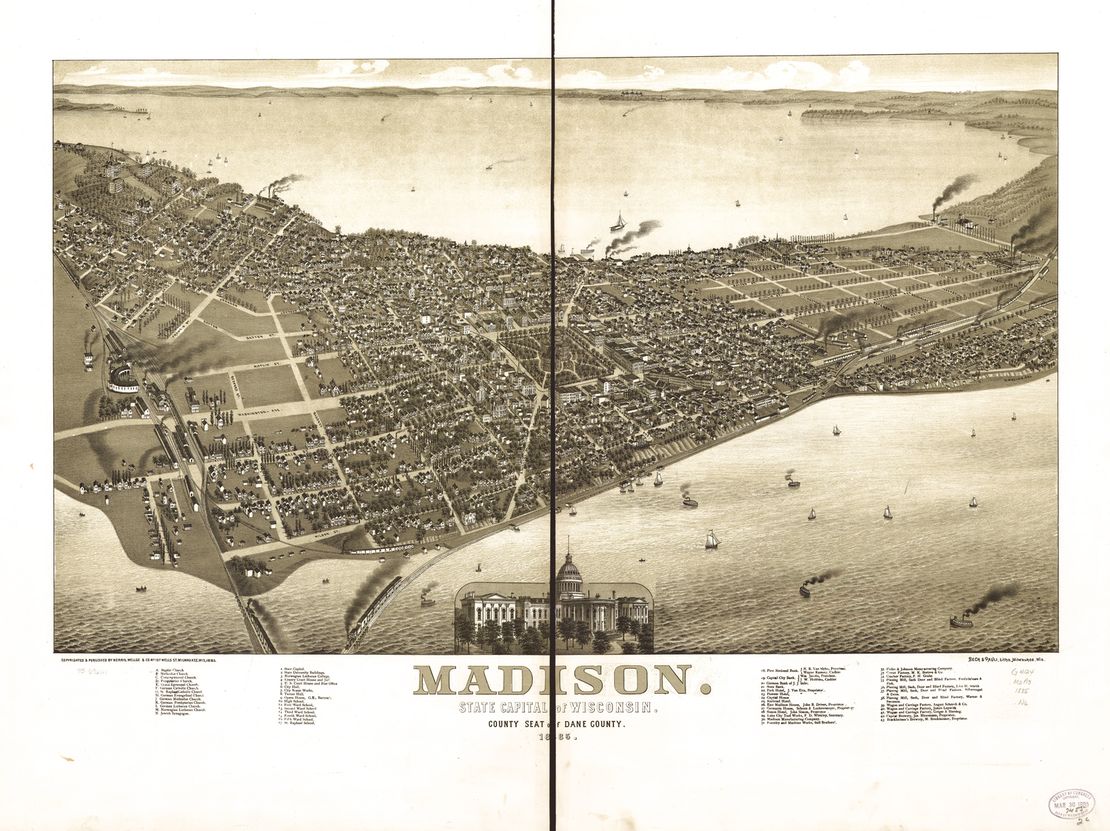
In other news, our end-of-decade quiz has a winner: Robbie Webber, a former Madison alder now serving on the Bike Walk Madison steering committee. Robbie attributes her skillz to a lifelong interest in natural history. She wins a copy of Bob Birmingham’s new book about Madison-area effigy mounds, Spirits of Earth.

QUIZ ANSWERS
Q. In 1855, the Yahara chain of lakes got a new set of names: Kegonsa, Waubesa, Monona, and Mendota replaced First, Second, Third, and Fourth lakes. Where did the names come from?
A. Madison officials named them after consulting faulty vocabulary lists to find attractive Indian names.

Q. Which tree species dominated the Four Lakes area in 1834?
A. Oaks (white, black, and bur).

Q. How many trees older than 1776 still stand in Madison?
A. About 250. In 2001, Bruce Allison re-surveyed Walter Scott’s original 1976 survey. Though many  trees on the updated list are gone or missing, Madison still has many old specimens.

Q. How did the maple forest east of Lake Mendota (which gave Maple Bluff its name) survive in a savanna landscape that Native people burned regularly?
A. Most prairie fires swept into the Four Lakes area from the west. Lake Mendota and the Yahara River stopped the advance of fires, allowing unresistant trees like maples to grow.

Q. What landscape feature on the east side of the isthmus caused Madison’s factory area to develop there?
A. You could write a book to answer this question, and thankfully someone has. Businesses and railroad lines built up around a mill on the Yahara River, but a large part of the east side lay under the Great Central Marsh. See the tidy but empty grid of tree-lined streets bisected by East Washington Avenue? That 1867 panorama didn’t match reality. The marsh covered the area between East Washington and Williamson. Used for a dump, it polluted residential wells, burned in the dry season, and often stank. Once the marsh was filled, factories used the newly available space.